Stryana is a river in the Smolensk region of Russia. The largest right tributary of the Desna [1] .
| Striana | |
|---|---|
| Characteristic | |
| Length | 42 km |
| Pool | 303 km² |
| Watercourse | |
| Source | |
| • Location | v. Berezkino |
| • Height | 240 m |
| • Coordinates | |
| Mouth | Gum |
| • Coordinates | |
| Location | |
| Water system | Desna → Dnipro → Black Sea |
| A country |
|
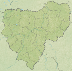
| Region | Smolensk region |
| Areas | Glinkovsky District , Yelninsky District , Pochinkovsky District |
The river is 42 km long. The catchment area is 303 km² [1] .
The source is located at an altitude of 240 m above sea level northwest of the village of Berezkino [2] Glinkovsky district [3] in the west of the Yelninskaya Upland. Nearby is also the source of the Ustrom River. The flow is in a southeast direction. The mouth is located near the village of Striana, Pochinkovsky district of Smolensk region [1] .
The main tributaries to the right are: Pisklya , Nedna , Shcheryёubin and Stryanitsa [1] .
Notes
- ↑ 1 2 3 4 Stryana // Smolensk Region: Encyclopedia: Volume 2: A – Z / Otv. ed. G. S. Merkin ; SSPU . - Smolensk: B. and., 2003 .-- 624 p. - ISBN 5-88018-315-7 .
- ↑ Map sheet N-36-054-B - FSUE GOSGISCENTER
- ↑ Data obtained using the Yandex.Maps mapping service.