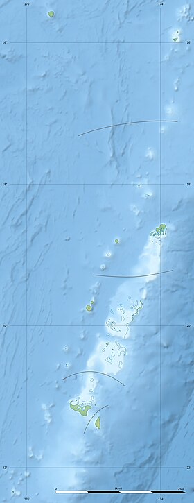
Niuatoputapu ( English Niuatoputapu ) - the main island in the Niuas group in the archipelago of Tonga ( Kingdom of Tonga ). It is located 167 km north of Wawau Island and 516 km north of Tongatapu Island.
| Niuatoputapu | |
|---|---|
| English Niuatoputapu | |
 | |
| Characteristics | |
| Area | 18 km² |
| Highest point | 157 m |
| Population | 950 people (2006) |
| Population density | 52.78 people / km² |
| Location | |
| Water area | Pacific Ocean |
| A country |
|
| Region | Niuas |
Content
- 1 Geography
- 2 History
- 3 population
- 4 Interesting Facts
- 5 See also
- 6 notes
Geography
The island is of volcanic origin. The highest point of the island reaches 157 m and is an ancient crater of a volcano, which has undergone severe erosion . The coast of Niuatoputapu is low and surrounded by a coral reef that surrounded the volcano in the distant past. The land area of the island is about 18 km².
History
Niuatoputapu was discovered in 1616 by the Dutch travelers Lemer Jacob and Willem Schauten . Europeans called the island of Verraders Eylandt (translated from Dutch - "island of traitors"). In 1767, the island was visited by the English traveler Samuel Wallis , who named it Keppel Island - in honor of the first Lord of the British Admiralty .
Population
In 2006, the population of Niuatoputapu was 950 people [1] . The main settlement is the village of Hihifo , located in the northwestern part of the island. Niuatoputapu has an airport .
Interesting Facts
- According to some reports, the island of Niuatoputapu moves at a speed of 25.4 cm per year, which is the fastest speed for geological structures [2] .
See also
- List of Tonga Islands
Notes
- ↑ Geohive: Tonga
- ↑ Tonga (inaccessible link) . world-tours.ru . Date of treatment February 2, 2011. Archived March 2, 2012.