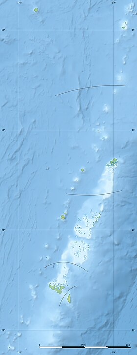
Kao ( eng. and tong. Kao ) is a volcanic island in the Ha'apai island group ( Kingdom of Tonga ). It is located 5 km north-east of Tofua Island and 160 km north of Tongatapu Island.
| Kao | |
|---|---|
| tong Kao | |
 | |
| Specifications | |
| Square | 11.6 km² |
| Highest point | 1046 m |
| Population | 0 people (2006) |
| Location | |
| Water area | Pacific Ocean |
| A country |
|
| Region | Haapai |
Geography
Photo from the islands of Khao (Small) and Tofua (Large)
The island has a symmetrical cone shape. The highest point of Kao reaches a height of 1046 m (this is the highest point of the Kingdom of Tonga). In a small crater of the volcano is a freshwater lake. The land area is 11.6 km² [1] .
History
Kao was discovered in 1774 by the English traveler James Cook .