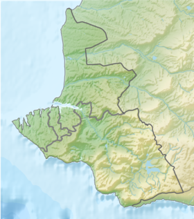
South Bay - one of the Sevastopol bays , flows into the Sevastopol Bay between the capes Nikolaevsky and Pavlovsky . It is named for its location relative to the Sevastopol Bay, as it is oriented exactly to the south. At its southern peak is the railway station of Sevastopol . Located in the central part of the city of Sevastopol, divides the South side of Sevastopol into the City and the Ship side. Other names for the South Bay: Shepherd-Estuary , Choban-Estuary , Kartaly-Kosh . In the eastern part of the bay between Cape Pavlovsky and Lazarev , the Ship's Bay is located.
| South bay | |
|---|---|
 View of the South Bay and the Ship side | |
| Location | |
| A country |
|
| Region | Sevastopol |

On the night of November 13, 1941, as a result of German air raids, the Black Sea Fleet cruiser Chervona Ukraine , the first of the cruisers built in the USSR and the only one lost during the Great Patriotic War, sank in the South Bay [2] .
Notes
- ↑ This geographical feature is located in the waters adjacent to the Crimean peninsula , most of which is the subject of territorial disagreements between Russia , which controls the disputed territory, and Ukraine , within the borders of which the disputed territory is recognized by the international community. According to the federal structure of Russia , the subjects of the Russian Federation are located in the disputed territory of Crimea - the Republic of Crimea and the city of federal significance Sevastopol . According to the administrative division of Ukraine , the regions of Ukraine are located in the disputed territory of Crimea - the Autonomous Republic of Crimea and the city with special status Sevastopol .
- ↑ Chervona Ukraine