Icy - a mountain in the Olyutor district of the Kamchatka Territory , the highest peak of the Koryak Upland . Included in the Ukelayat mountain range. Since 1991 it has been a natural monument of local importance [2] .
| Icy | |
|---|---|
| Highest point | |
| Absolute height | 2562 [1] m |
| Location | |
| A country |
|
| The subject of the Russian Federation | Kamchatka Krai |
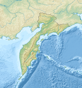
| Area | Olyutor district |
| Ridge or array | Koryak Highlands |


The top of the mountain is a dome covered with glaciers [1] . Ranges from Pikas, Ukelayat, Snegovoy depart from Ice.
Ledyanaya and Ukelayat are the center of glaciation, 344 glaciers with an area of 102.5 km2 are located here [3] . In the spurs of the mountains several rivers begin, including Pahach , Apuka , and Velikaya .
Notes
- ↑ 1 2 Rundquist, 2014 .
- ↑ Help .
- ↑ Osipova .
Literature
- Rundqvist N. Caprice of the wandering finger. Koryak Highlands // Walking Wide. - Yekaterinburg: Quist, 2014 .-- 576 p. Archived on May 28, 2019.
- Mount Icy // Laboratory of Geoinformation Technologies, Federal State Budgetary Institution "AANII" IAS "Protected Areas of Russia". Archived on May 29, 2019.
- Osipova G. B. Koryak plateau (glacial system) glaciers and snowfields // Popular Science Encyclopedia “Water of Russia”. Archived on May 31, 2019.