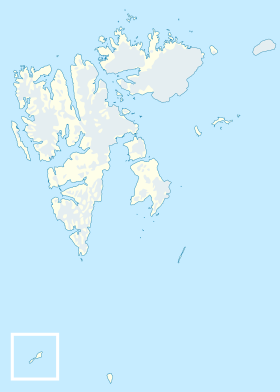
The island of Barents ( Norwegian Barentsøya ) is an uninhabited island in the Svalbard archipelago . Located in the eastern part of the archipelago, between the Islands of Edge and West Spitsbergen . With an area of 1288 km², Barents Island is the fourth largest in the archipelago. Named in honor of the Dutch explorer and navigator V. Barents .
| Barents Island | |
|---|---|
| Norwegian Barentsøya | |
 | |
| Specifications | |
| Square | 1288 km² |
| Highest point | 590 m |
| Population | 0 people (2012) |
| Location | |
| Archipelago | Svalbard |
| Water area | Arctic Ocean |
| A country |
|
| Territory | Svalbard |
Geography and climate
The island is formed by horizontally lying Mesozoic limestones and shales , under which are folded highly metamorphosed Paleozoic rocks. In the western part of the island there is a hill formed by basalts .
Almost half of the island’s territory, 558 km², is covered by a glacier , the rest is arctic tundra .
Links
- Great Soviet Encyclopedia : [30 tons] / ch. ed. A. M. Prokhorov . - 3rd ed. - M .: Soviet Encyclopedia, 1969-1978.
- Island Map on Svalbard Images (eng.)