Japar ( rum. Jepar ) is a right tributary of the Kogilnik River, located on the territory of the Cimisli region ( Moldova ).
| Japar | |
|---|---|
| room. Jepar | |
| Characteristic | |
| Length | 10 km |
| Pool | 49.6 km² |
| Watercourse | |
| Source | |
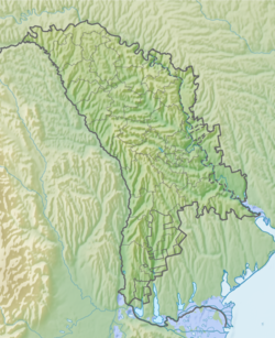
| • Location | Cimislia |
| • Coordinates | |
| Mouth | Cogilnik |
| • Location | Cimislia |
| • Coordinates | |
| River slope | 7.0 m / km |
| Location | |
| Water system | Kogilnik → Sasik |
| A country |
|
Geography
Length - 10 km. The pool area is 49.6 km². The river channel (elevation marks) in the middle course (lower reservoir) is located at an altitude of 94.1 m above sea level. The channel in the estuarine part is straightened into the canal (canalized) with a two-sided dam; between the lower reservoir and the channel, the channel dries up. The floodplain is swampy with coastal-aquatic vegetation. Three reservoirs have been created on the river.
It originates from two streams (at the confluence of the Yalpuzhen beam into the Ekaterinovskaya beam), at the confluence, which created a reservoir, northwest of the city of Cimislia . The river flows in the Ekaterinovskaya beam to the southeast. It flows into the river Kogilnik (at the 161st km from its mouth) in the north of the city of Cimislia .
Tributaries: (from source to mouth) no major.
Settlements (from source to mouth):
- Cimislia
Notes
Links
- Zhapar // Catalog of Ukraine / state .: G. І. Shvets , N. І. Drozd , S.P. Levchenko ; Ed .: V. І. Moklyak . - Kyiv : View of the Academy of Sciences of the Ural Soviet Socialist Republic , 1957. - 192 p. - 3000 copies. (Ukrainian)
- Detailed topographic map of Moldova of the Soviet era