Kosim ( rum. ? ) - The left tributary of the Kogilnik River, located on the territory of the Bessarabian region ( Moldova ).
| Kosim | |
|---|---|
| room. ? | |
| Characteristic | |
| Length | 24 km |
| Pool | 96.6 km² |
| Watercourse | |
| Source | |
| • Location | Bogdanovka |
| • Coordinates | |
| Mouth | Cogilnik |
| • Location | Karabetovka |
| • Coordinates | |
| River slope | 2.6 m / km |
| Location | |
| Water system | Kogilnik → Sasik |
| A country |
|
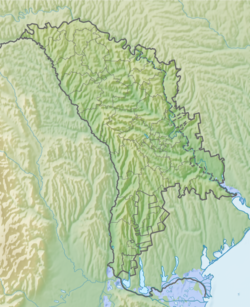
Geography
Length - 24 km. The pool area is 96.6 km². The river bed (elevation marks) in the middle course () is located at an altitude of m above sea level. The channel is straightened into the channel (canalized). A reservoir was created on the river (east of the village of Sadakliya), which according to the satellite image for 2018 is without water [1] . As of the terrain in 1985, the dam (earthen) of the reservoir is 430 m long and 3 m wide at the top; the mark of the upper water level of the reservoir is 79.8, the lower - 77.5.
It originates west of the village of Bogdanovka . The river flows south. It flows into the Kogilnik River (at 132 km from its mouth) between the villages of Karabetovka and Iordanovka .
Tributaries: (from source to mouth) no major.
Settlements (from source to mouth):
- Karabetovka
Notes
Links
- Kosim // Catalog of Ukraine / state .: G. І. Shvets , N. І. Drozd , S.P. Levchenko ; Ed .: V. І. Moklyak . - Kyiv : View of the Academy of Sciences of the Ural Soviet Socialist Republic , 1957. - 192 p. - 3000 copies. (Ukrainian)
- Map sheet L-35-58 Cimislia . Scale: 1: 100 000. Indicate the date of issue / condition of the area .