Akavaz is a river in the Kugarchinsky district of Bashkortostan . The left tributary of the White .
| Akavaz | |
|---|---|
| Characteristic | |
| Length | 13 km |
| Watercourse | |
| Source | |
| • Height | 480-500 m |
| • Coordinates | |
| Mouth | White |
| • Location | 965 km from the mouth, Yumaguzinsky reservoir |
| • Height | 261 m |
| • Coordinates | |
| River slope | 17-18 m / km |
| Location | |
| Water system | White → Kama → Volga → Caspian Sea |
| A country |
|
| Region | Bashkortostan |
| Area | Kugarchinsky district |
| HWR code | |
Geography
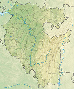
The river is 13 km long (from the source of Sukhoi Akavaz) [2] . It flows in the forests south of the Yumaguzinsky reservoir . It originates at the western slope of Mount Yamantau (in the foothills of the Southern Urals), 11 km north of the village of Bikbulatovo [3] . It flows to the north-north-west and flows into the Yumaguzinsky reservoir 16 km above the Yumaguzinskaya hydroelectric station [4] (965 km from the mouth of Belaya).
The lower course (in the territory of the Bashkiria National Park) runs in a deep valley with heights near the mouth above 200 m from the river level [3] . There are no settlements in the river basin.
Main tributary (left): Cameo.
Water registry data
According to the state water register of Russia, it belongs to the Kama basin district , the Belaya river water sector from the Arsky Kamen water meter post to the Yumaguzinsky hydroelectric complex , and the Belaya river sub-basin. The river basin of the river is Kama [2] .
The code of the object in the state water registry is 1001020021221111100017635 [2] .
Notes
- ↑ Surface Water Resources of the USSR: Hydrological Understanding. T. 11. The Middle Urals and the Urals. Vol. 1. Kama / ed. V.V. Nikolaenko. - L .: Gidrometeoizdat, 1966 .-- 324 p.
- ↑ 1 2 3 State Water Register . Akavaz (Dry Akavaz) . textual.ru . Ministry of Natural Resources of Russia (March 29, 2009). Date of treatment December 20, 2018. Archived March 29, 2009.
- ↑ 1 2 Map sheet N-40-114 . Scale: 1: 100,000. State of the terrain for 1983. 1985 edition
- ↑ Federal Agency for Water Resources. Rules for the use of water resources of the Yumaguzinsky reservoir (2016).