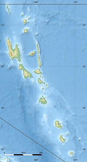
Eretoka ( bisl. Eretoka ), also Hut , Retoka , Artok - a small uninhabited island in the province of the Chief of the Pacific state of Vanuatu . Located west of the island of Efate [1] [2] . In the 1960s, a lighthouse was built on the island.
| Erethok | |
|---|---|
| bisl. Eretoka | |
 Eretok Island in 2006 . | |
| Characteristics | |
| Highest point | 90 m |
| Population | |
| Location | |
| Water area | Pacific Ocean |
| A country |
|
| Region | Chef |
Geography
The island stretches 2.3 km in the north-east and south-west directions, its maximum width is 670 meters. In the center of the island, a “cap” of coral lime rises above a stratified pumice stone with a height of about 90 meters. Around the center of the island stretches a wide and even area of sand and limestone , which was raised above the surface of the water during the last rise of the seabed; most of this territory is located at an altitude of not more than five meters above sea level .
History
Roy Mata , a powerful 13th-century Melanesian ruler, was buried on Eretok Island. The penetration of his elaborate tomb was taboo [3] . The burial, which also contained the bodies of 25 members of the suite of the ruler, was discovered by the French archaeologist Jose Garranger in 1967 . In 2008, three sites on the islands of Efate , Lelepa and Eretok, associated with the legendary leader, were included in the UNESCO World Heritage List [4] [5] .
Notes
- ↑ "Eretoka Island" . Geoview .
- ↑ "Eretoka Island: Vanuatu" . Geographical Names .
- ↑ Troost, J. Maarten. Getting Stoned with Savages: A Trip Through the Islands of Fiji and Vanuatu . - Crown / Archetype, 2006 .-- S. 30 .-- 288 p. - ISBN 9780767924931 .
- ↑ "Chief Roi Mata's Domain" . UNESCO .
- ↑ "World Heritage Status set to ensure protection of Vanuatu's Roi Mata domain" . Radio New Zealand International (July 9, 2008).