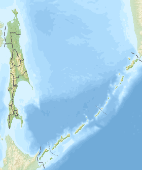
Sweet [2] is a fresh lake on the northwest coast of Sakhalin Island . It is located on the territory of the Okhinsky district of the Sakhalin region .
| Lake | |
| Sweet | |
|---|---|
| Morphometry | |
| Area | 17.2 km² |
| Deepest | 3,5 m |
| Average depth | 2 m |
| Swimming pool | |
| Pool area | 155 km² |
| Flowing river | Sweet |
| Flowing river | Numovka |
| Location | |
| A country |
|
| The subject of the Russian Federation | Sakhalin Oblast |
| Area | Okha District |
| Identifiers | |
| HWR : | |

The mirror area is 17.2 km², the catchment area is 155 km² [3] . It is a delta of the river Sladka, which is very elongated from the southeast to northwest, and is actually a river spill. Through the 9 km long Naumovka River, the lake is connected to the Sea of Okhotsk . The average depth is 2 meters, the maximum is not more than 3.5 m. However, until the 1950s. the depths in the reservoir reached 6 m, but due to the descent of the sand dune into the lake, it became shallow. The main food of the reservoir falls on the river Sweet, as well as groundwater and numerous keys [4] .
The shores of the lake are cut by deep bays, overgrown with coniferous forests, as well as reeds, reeds, horsetails and sedges, often with thickets of water pine. The western part of the reservoir is bordered by sandy beaches. The bottom of the lake is sandy and silty-sand, a very small area is occupied by pebbles. The bottom relief is gentle [4] .
The water temperature of the lake differs in different places. The colder waters are in the southeastern part (16 ° C), there are numerous cold springs. The warmest ones are in the northern part and in warm shallow bays (up to 21 ° C) [4] .
The basis of the phytoplankton of the lake is diatoms, green algae and cyanobacteria . In summer, the maximum development of phytoplankton with very high abundance and biomass is characteristic. Zooplankton consists mainly of rotifers and cladocerans [4] .
In the waters of the lake, pink salmon, the Amur ide, small-smelt, gudgeon Soldatova, the Amur stickleback, the Amur pike, the Amur flat-headed asp, and the gubar horse live [4] .
Notes
- ↑ Surface Water Resources of the USSR: Hydrological Understanding. T. 18. The Far East. Vol. 2 [3]. Primorye / ed. I. S. Bykadorova. - L .: Gidrometeoizdat, 1963 .-- 83 p.
- ↑ Sweet ( No. 0619594 ) / Register of names of geographical objects on the territory of the Sakhalin Region as of November 30, 2016 // State Catalog of Geographical Names. rosreestr.ru.
- ↑ State Water Register . Sweet . textual.ru . Ministry of Natural Resources of Russia (March 29, 2009). Date of treatment December 20, 2018. Archived March 29, 2009.
- ↑ 1 2 3 4 5 V.S. Labay, I.A. Atamanova, D.S. Zavarzin, I.V. Motylkova, O.N. Mukhametova, V.D. Nikitin. Water bodies of Sakhalin Island: from lagoons to lakes / G.V. Matyushkov. - State budgetary institution of culture "Sakhalin Regional Museum of Local Lore". - Yuzhno-Sakhalinsk: Sakhalin Regional Printing House, 2014 .-- S. 54.84. - 208 p. - 500 copies. - ISBN 978-5-900334-71-4 .