Mount Pallas (Mount Ridge, Solva, Polar Bear) - the ninth highest peak in the Sverdlovsk region with a height of 1337.7 meters, is part of the Main Ural Range .
| Mount Pallas | |
|---|---|
| Highest point | |
| Absolute height | 1337.7 m |
| Location | |
| A country |
|
| The subject of the Russian Federation | Sverdlovsk region |
| Mountain system | North Ural |
| Ridge or array | Main Ural Range |

Content
- 1 Geographical location
- 2 History
- 3 Description
- 4 notes
Geographical position
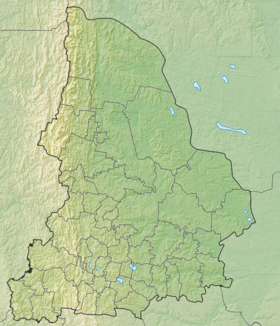
Mount Pallas is located on the border of the municipality " Severouralsk City District " of the Sverdlovsk Region and the Krasnovishersky District of Perm Territory , as part of the Main Ural Range , 8 kilometers north of Mount Humboldt . The mountain is 1337.7 meters high with a difficulty factor of -1A [1] . On the western slope of the mountain is the Bolshaya Lampa River and its left tributaries (a tributary of the Uls river), on the eastern slope is the left tributaries of the Bolshaya Sosva river (a tributary of the Sosva river). On the eastern slope, small snowfields form according to negative landforms [2] .
History
The mountain was named in 2001 in honor of Academician P.S. Pallas (1741–1811), who explored the Northern Urals in the summer of 1770 [1] .
Description
The forest zone (up to 800 meters) is covered with fir-spruce forests with cedar, above - meadow and tundra vegetation, stone placers and rock outcrops [2] .
Notes
- ↑ 1 2 Rundqvist N., Zadorina O. Sverdlovsk Region. From A to Z: Illustrated Local History Encyclopedia . - Yekaterinburg: Quist, 2009 .-- 456 p. - ISBN 978-5-85383-392-0 .
- ↑ 1 2 Chelyshev S.R. Ridge, mountain . - Encyclopedia Perm Territory.