Somyakhnolchahl - a mountain 1055.3 meters high on the border of the Sverdlovsk region and the Komi Republic , is part of the Poyasny Kamen ridge.
| Somyahnolchahl | |
|---|---|
| mans. Somjännöl-Chahl | |
| Highest point | |
| Absolute height | 1055.3 m |
| Location | |
| A country |
|
| The subject of the Russian Federation | Sverdlovsk region |
| Mountain system | North Ural |
| Ridge or array | Belt Stone |

Geographical position
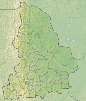
Mount Somyahnyolchahl is located in the Ivdelsky City District municipality of the Sverdlovsk Region and the Komi Republic , as part of the Poyasny Kamen Range, 21 kilometers south of Mount Otorten . The mountain is 1055.3 meters high [1] .
Description
The forest zone is up to 750 meters, higher is the tundra, stone placers, rocky outcrops [1] .
Notes
- ↑ 1 2 Rundqvist N., Zadorina O. Sverdlovsk Region. From A to Z: Illustrated Local History Encyclopedia . - Yekaterinburg: Quist, 2009 .-- 456 p. - ISBN 978-5-85383-392-0 .