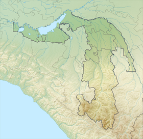
Abago ( Adyghe. Abague ) is a mountain peak in the Republic of Adygea , located within the Caucasus State Biosphere Reserve in the left sources of the Molchepa River [2] .
| Abago | |
|---|---|
| Adyghe. Abague | |
| Highest point | |
| Absolute height | 2628.7 [1] m |
| Location | |
| A country |
|
| The subject of the Russian Federation | Adygea |
| Mountain system | Caucasus |
| Ridge or array | Mountain range |

Geography
Abago is a mountain peak and ridge in the Republic of Adygea, located 12 km south of the village of Guzeripl [3] ( Belaya River Valley). Height - 2689 m. The pasture in the upper Molchepa has the same name.
Oronim
The name of the oronima is based on two elements: Ӏэ - "livestock" and bagu - "multiply", that is, "the place where livestock multiplies" (Adyg.).
Notes
- ↑ Map sheet K-37-9 Krasnaya Polyana . Scale: 1: 100,000. 1980 edition
- ↑ A. V. Tverdy, “Toponymic Dictionary of the North Caucasus”, Part 1, 2. Krasnodar, 2006
- ↑ Koveshnikov V.N. Essays on the toponymy of the Kuban. Krasnodar, 2006