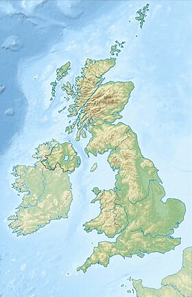
Cromarty-Firth - a bay in the North Sea on the east coast of Scotland (in the historic area of Ross and Cromarty ), a branch of the larger Gulf of Mori-Firth , extends inland to the west and south-west for a distance of 30.6 km. The average width is 1.6 km (with the exception of Nigg Bay and Cromarty Bay, where the width is 8 km, and Elness Bay, where it is 3.2 km), the average depth is from 5 to 10 fathoms. Together with the Pain-Firth forms the coast of the Black Isle Peninsula [1] .
| Cromarty Firth | |
|---|---|
| English Cromarty Firth , Gaelic. Caolas chrombaidh | |
 Cromarty Firth Entrance | |
| Specifications | |
| Bay type | bay |
| Location | |
| Higher Water Area | Mori Firth |
| A country |
|
| Region | Scotland |

The bay has several branches; on its shores are located the settlements of Dingwall, Cromarty, Invergordon (where the naval base was located until 1956) and others. On both sides, at the entrance to the bay, there are rocks (151 and 141 m high) called Sutors (“shoemakers”). There are several ferries, since the beginning of the 1970s oil platforms have been serviced. On the northern part of the coast of the bay runs the railway line Far North Line [2] .
Notes
- ↑ Black Isle on Scottish Places . www.scottish-places.info . The appeal date is May 4, 2019.
- ↑ Cromartie-Firth on Scottish Places . www.scottish-places.info . The appeal date is May 4, 2019.
- This article (section) contains the text taken (translated) from the eleventh edition of the British Encyclopedia , which has passed into the public domain .