
The imperial districts at the beginning of the XVI century (the territory of the Westphalian district is painted in light brown color).
Netherlands-Westphalian district in the middle of the XVI century.

Historical map of Westphalia (c. 1710; author - .
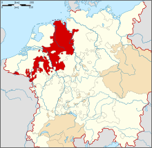
Westfal District ( German Westfälischer Reichskreis ; also: Nizhnereinsky or Netherlands District ) - one of the imperial districts of the Holy Roman Empire . It covers an area of 68,825 km².
In the county entrance:
- the bishops of Münster , Paderborn , Osnabrück , Lutthich (first and Utrecht );
- Abbeys of Corvey , Verdun and others;
- the duchies of Julich , Cleves , Berg, and Oldenburg ;
- the principalities of Minden , , East Friesland and others;
- Nassau lands ;
- Marc County, , Ravensberg [comm. 1] , Schaumburg-Lippe , Pyrmont , ;
- the imperial cities of Aachen , Cologne , Dortmund and Zest [ clarify ] .
Comments
- ↑ Is there a typo in the ESBE , and did Rietberg county mean?
Links
- Westphalian District // Encyclopedic Dictionary of Brockhaus and Efron : 86 t. (82 t. And 4 extra.). - SPb. , 1890-1907.