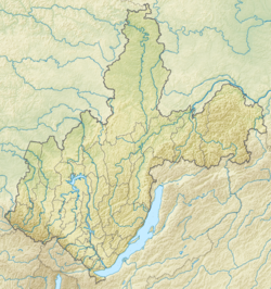
Bolshaya Bystraya ( Chernushka , Bystraya ) is a river in the Slyudyansky district of the Irkutsk region . Right tributary of Irkut .
| Big Fast | |
|---|---|
| Characteristic | |
| Length | 52 km |
| Pool | 352 km² |
| Watercourse | |
| Source | Hamar Daban |
| • Coordinates | |
| Mouth | Irkut |
| • Location | 154 km on the right bank |
| • Coordinates | |
| Location | |
| Water system | Irkut → Angara → Yenisei → Kara Sea |
| A country |
|
| Region | Irkutsk region |
| Area | Slyudyansky district |
| HWR code | |
The length of the river is 52 km [2] , the catchment area is 352 km² [2] .
It originates in Khamar-Daban , near the border with the Tunkinsky district of Buryatia. It flows from south to north in mountain taiga. In the Bystrinsky Depression (eastern segment of the Tunkinsky Basin ), 5 km before the confluence with Irkut, the federal highway A333 Tunkinsky Trakt crosses the river.
1-1.5 km south of the estuary is the village of Bystraya .
It flows from the east to Irkut on the right bank, 154 km from its confluence with the Angara.
Main tributaries: Podkomarnaya , Chernushka, Lesser Chernushka.
Notes
- ↑ Surface Water Resources of the USSR: Hydrological Understanding. T. 16. Angara-Yenisei region. Vol. 2. Hangar / ed. T.S. Kirillova, N.N. Korchazhnikova. - L .: Gidrometeoizdat, 1965 .-- 224 p.
- ↑ 1 2 State Water Register . The Bolshaya Bystraya River (Chernushka, Bystraya) . textual.ru . Ministry of Natural Resources of Russia (March 29, 2009). Date of treatment December 20, 2018. Archived March 29, 2009.