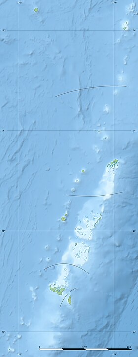
Tongatapu [1] is the largest island in the Tongatapu group of the Tonga Islands archipelago (or Friendship Island) in the southwestern Pacific Ocean . By origin - a raised atoll . The area of the islands is 260.48 km² (Tongatapu island - 257.03 km²), the population is 72,045 people [2] (2006). On the island there is the city of Nukualofa (the capital of the kingdom of Tonga ) and the international airport of Foamot .
| Tongatapu | |
|---|---|
| English Tongatapu | |
 A satellite image of Tongatapu Island (above) and Eua (below). | |
| Specifications | |
| Square | 260.48 km² |
| Highest point | 65 m |
| Population | 72 045 people (2006) |
| Population density | 276.59 people / km² |
| Location | |
| Water area | Pacific Ocean |
| A country |
|
| Region | Tongatapu |
Content
Geography
The island is low-lying, formed from coral limestone . Soils are very fertile and have volcanic origin. While the average height of the southern side of Tongatapu is about 35 m, the northern part is very low. The highest point of the island reaches 65 m.
To the north of the island, at a distance of 7 km, there are small islands and numerous coral reefs. The island has two lagoons - Fangauta and Fangakakau , which are located in the northern part of Tongatapu. Their average depth is from 1 to 6 m.
| Isle | Population, people (1996) | Square, km² | Density, people / km² |
|---|---|---|---|
| 'Ataa | 2 | 0.22 | |
| 'Atataa | 234 | 0.52 | 450,0 |
| 'Eueiki | 56 | 1.06 | 52.8 |
| Fafaa | ten | 0.09 | 111.1 |
| Nukunukumotu | 24 | 1.32 | 18.2 |
| 'Oneata | 3 | 0.06 | |
| 'Onevai | eight | 0,03 | |
| Pangaimotu | 29th | 0.13 | 223.1 |
| Velitoa Hahake | ten | 0.01 | |
| Velitoa Hihifo | 17 | 0.01 | |
| Tongatapu | 66 586 | 257.03 | 259.1 |
| Total | 66 979 | 260,48 | 257.1 |
History
Lapita Culture Period
The earliest evidence of the settlement of Tongatapu island by people of the Lapita culture dates back to 900-850 BC. e. In the Fangauta Lagoon, archaeologist David Burley discovered specimens of clay shards that were also found on the Santa Cruz Islands , located 2,000 km from Tongatapu Island.
Tongan Empire Period
On the island of Tongatapu was the capital of the Tongan Empire . The first of these was the city of Toloa , which existed near the modern airport about 1000 years ago (but very little is known about it). The second capital was the city of Heketa , which was located on the northeast coast of the island. Since about 1220 AD e. until 1851, the capital was the city of Mua .
First European contacts
The first European to visit Tongatapa was the Dutch traveler Abel Tasman , who discovered the island in 1643 and named it Amsterdam . Subsequently, on July 5, 1777, an English traveler, James Cook, landed on Tongatapu.
Notes
- ↑ Geographic Encyclopedic Dictionary: Geographic Names / Ed. A.F. Treshnikov . - 2nd ed., Ext. - M .: Soviet Encyclopedia , 1989. - S. 483. - 210 000 copies. - ISBN 5-85270-057-6 .
- ↑ Geohive: Tonga
Links
- Map of Tongatapu Island
- Map of Tongatapu Island
- Information about the island (inaccessible link) . Archived on February 6, 2012.
- Fangauta and Fangakakau lagoons (Unavailable link) . Archived on September 29, 2007.
- Photo of the island (inaccessible link) . Archived July 16, 2006.