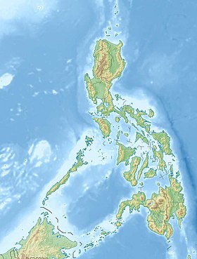
Batan ( born Batan Island ) is a volcanic island located in the Luzon Strait on the border of the Philippine and South China Seas. Administratively refers to the province of Batanes [1] ( Cagayan Valley region, Philippines ). The 43rd largest island in the country .
| Batan | |
|---|---|
| English Batan island | |
 Batan Hills | |
| Specifications | |
| Square | 95.18 km² |
| Highest point | 1009 m |
| Population | 11 979 people (2010) |
| Population density | 125.86 people / km² |
| Location | |
| Archipelago | Batanes |
| Washer water areas | Philippine Sea , South China Sea |
| A country |
|
| Region | Kagayan Valley |
| Provinces | Batanes |

- This article is about a Filipino island in the province of Batanes. For a Philippine island in the province of Albay, see .
Content
Geography Description
Batan Island is stretched from southwest to northeast for 19 kilometers, has a width of 2 to 5 kilometers, an area of 95.18 km². The highest point of the island is Mount (1009 meters above sea level, the last eruption in 1454) [2] . According to the 2010 census, 11 979 people lived on Batan (11 173 in 2000), mainly representatives of the ethnolinguistic group of Ivatan [3] . There are four settlements on the island: Basko (8579 people according to 2015 estimates), (1555), Ivan (1327) and (1297).
Island is 4.5 kilometers southwest of Batan, and Island is 30 kilometers northwest of the island.
History
The Japanese invasion of the Philippines began in December 1941 during World War II. The first point of the country attacked by the imperial army . It was the first in this war the landing of enemy troops on US territory [4] , carried out a few hours after the attack on Pearl Harbor . The island was captured without a fight, the Japanese equipped the airfield in a matter of hours and began further advancement in order to capture the largest island of the Philippines - Luzon . However, due to the successful on the , the need for an airfield on Batan immediately disappeared [5] .
Beach in
Lighthouse in basco
Church in
Church in Ivan
Old coral house
Batanes Archipelago
Notes
- ↑ Topographic map of the Batanes Islands (English) on the site lib.utexas.edu
- ↑ Mount Irai (English) on volcano.si.edu
- ↑ Shigetoshi Setoguchi, Yukihiro Yamada. Itbayat Folksongs with Notes - 6.2.4. Singing in Ivatanen p. 81 on ir.kochi-u.ac.jp
- ↑ From 1898 to 1946, the Philippine Archipelago belonged to the United States
- ↑ HyperWar: US Army in WWII: Fall of the Philippines - Chapter VI: The First Landings - Batan Island on ibiblio.org
Links
- Topographic map of the island on the website asiapacific.anu.edu.au