Урurominsky County ( Polish Powiat żuromiński ) - county (district) in Poland , is included as an administrative unit in the Masovian Voivodeship . The district center is the city of Zhuromin . It covers an area of 805.01 km². The population is 40 014 people (as of 2013 ) [1] .
| Zhurominsky district | |||||
|---|---|---|---|---|---|
| Powiat żuromiński | |||||
| |||||
| A country | |||||
| Adm. Centre | Zhuromin | ||||
| Warden | Jerzy Jimowski | ||||
| History and Geography | |||||
| Square | 805.01 km² | ||||
| Population | |||||
| Population | 40 014 people ( 2013 ) | ||||
| Density | 49.7 people / km² | ||||
| Digital identifiers | |||||
| Official code | 1.14.18.37.00.0 | ||||
| Postal codes | 09-300 | ||||
| Auto Code numbers | Wzu | ||||
| Official website (Polish) | |||||
 | |||||
 | |||||


Content
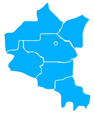
Administrative Division
- cities: Bezhun , Zhuromin
- urban-rural communes: Gmina Bezhun , Gmina Zhuromin
- rural gmina: Gmina Kuchbork Siege , Gmina Lubovidz , Gmina Lutocin , Gmina Sementkovo
Demographics
The population of the district is given for 2013 [1] .
| Census | Total | Men | Women |
|---|---|---|---|
| Total | 40014 | 19760 | 20254 |
| Urban population | 10933 | 5279 | 5654 |
| Rural population | 29081 | 14481 | 14600 |
Notes
- ↑ 1 2 Stan i struktura ludności oraz ruch naturalny w przekroju terytorialnym w 2013 r. Stan w dniu 31 XII (Polish) . Central Statistics Office of Poland (June 5, 2014). Date of treatment April 9, 2015. Archived on October 6, 2014.