Melawa [1] ( eng. Malewa ) is a river in Kenya . It originates in the district of Nyandarua ( Eng. Nyandarua ) on the western slope of the Aberdeer ridge [2] . It flows into Lake Naivasha . The pool area is 1730 [3] km².
| Melava | |
|---|---|
| English Malewa | |
| Characteristic | |
| Pool | 1730 km² |
| Watercourse | |
| Source | |
| • Coordinates | |
| Mouth | Naivasha |
| • Coordinates | |
| Location | |
| Water system | Naivasha |
| A country |
|
| Regions | Nyandarua , Nakuru |
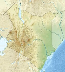
Descending from the mountains, Melava flows in a ravine along a wide densely populated valley between Aberder and Mount Kipipiri in a northwest direction [2] . Near the settlement of Ol-Kalou, the river changes its direction to the southwest [2] . Having taken the Lokolva River on the right, Melava soon again changes direction, heading south [2] . Here, Melawa serves as a section of the administrative border with Nakuru County [1] . In the same section, the river takes on its left its largest tributary - the Turash River, flowing downstream in a deep narrow valley [2] . Soon, Melawa finally flows into the Nakuru district, crosses the settlement of Merendat , roads and railways, and flows into Lake Naivasha [2] .
In the west it adjoins the Gilgil river basin , in the east with the Tana basin [2] .
River system
- Naivasha
- Melava
- ← Turasa [2]
- → Sassini [2]
- → Kitiri [2]
- → Kauru / Mogotiu [2]
- → Kitiri [2]
- → Lokolva [2]
- → Sassini [2]
- ← Turasa [2]
- Melava
Notes
- ↑ 1 2 Map of Kenya, scale 1: 2 000 000, GUGK, 1976
- ↑ 1 2 3 4 5 6 7 8 9 10 11 12 Map sheet A-37-A (Yu.P.) Nairobi . Scale: 1: 500,000.
- ↑ Harper, David M. Lake Naivasha, Kenya . - Springer, 2003.