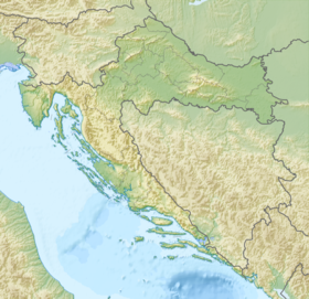
Vir ( Horv. Vir ) is an island in Croatia , in the central part of the Adriatic Sea . The island is located northwest of Zadar . From the mainland, Vir is separated by a narrow strait through which a road bridge is moved. To the east, another narrow strait separates Vir from the island of Pag . To the west lies a bay called the “Virskoye Sea”, and behind it the islands of Silba and Olib .
| Vir | |
|---|---|
| Hor. Vir | |
 | |
| Specifications | |
| Square | 22.38 km² |
| Highest point | 112 m |
| Population | 1608 people (2001) |
| Population density | 71.85 people / km² |
| Location | |
| Water area | Adriatic Sea |
| A country |
|
| Region | Zadar County |
The area of the island is 22.38 km², the population is 1608 people living in the village of Vir and the villages of Torovi and Lozice. The coastline is 29 km, the highest point of the island is 112 meters above sea level. The distance from the village of Vir to Zadar is 30 kilometers. In the tourist season, the population of the island increases dramatically. The population is engaged in fishing, agriculture, tourist service.
The name of the island comes from the word “ueru” of an extinct Dalmatian language , meaning “pasture”.