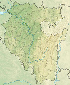
Akselel is a mountain range in the Southern Urals on the territory of the Ishimbay district of the Republic of Bashkortostan. The length of the ridge is 7 km, the width is 3 km, the absolute height is 677 m.
| Accelel | |
|---|---|
| Specifications | |
| Length | 7 km |
| Width | 3 km |
| Highest point | |
| Absolute height | 677 m |
| Location | |
| A country |
|
| The subject of the Russian Federation | Bashkortostan |
| Area | Ishimbay district |
| Mountain system | Ural Mountains |

It is stretched meridially along the Ryazyak river, to the northeast - the confluence of the Bolshoi and Maly Ryazyak rivers. The ridge stands out rocky peaks steeply steep to the river.
The relief is difficult, there are kurums . The composition of Akselel: limestone, sandstone, Devonian sandstone. The landscape is represented by linden forests mixed with maple and oak.
Literature
- Ishimbay Encyclopedia . - Ufa : Bashkir Encyclopedia , 2015. - p. 64. - 656 p. - 3000 copies - ISBN 978-5-88185-205-4 .
Map
Map sheet N-40-78 Tashla . Scale: 1: 100,000. 1979 Edition.