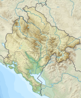
Vrmac ( Montenegr. Vrmac / Vrmac ) is a peninsula in the Kotor Bay of the Adriatic Sea , in the western part of Montenegro . The highest point is the summit of St. Ilya ( Montenegrin. Sveti Ilija / Sveti Ilјa ) with a height of 766 meters.
| Vrmac | |
|---|---|
| Montenegrin Vrmac , Serb. Vrmac | |
 | |
| Specifications | |
| Highest point | 766 m |
| Location | |
| Water area | Kotor Bay |
| A country |
|
Other peaks:
- Montenegrin Velji vrh / Beli vrh (712 m)
- Montenegrin Čisti vrh / Chisty vrh (616 m)
- Montenegrin Popova Glava / Popova Glava (584 m)
- Montenegrin Sveti Vid / Sveti Vid (440 m)
Geography
Vrmac lies between the bays of Kotor and Tivat , its northern extremity rests against the Verige strait opposite Perast and the bay of Risan . The peninsula consists of flysch . The slopes are covered with maquis .
The following settlements are located on Vrmac:
- Tivat
- Lastva
- Lepetane
- Stoliv
- Prcanj
- Muo
History
In the past, Vrmac was of great strategic importance, as the border between the Republic of Venice and the Ottoman Empire passed across the Verige Strait.
On one of the peaks of the peninsula is the former Austro-Hungarian ( Montenegrin. Tvrđava Vrmac / Tvrђava Vrmac, m . Werk Vermac ), operating in the years 1860-1918.
Since 2007, the Vrmats meters long has been operating under the peninsula, connecting Kotor and Tivat.
At the foot of the peninsula is the , which plays the football club "Bokel" from Kotor.
