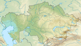
Aktolagay ( Kaz. Ақтолғай ) - a mountain range in the territory of the Baiganinsky district of the Aktobe region . Length 90 km, width 5-10 km, the highest point - Mount Kiyakty (217 m). It adjoins the Caspian lowland along the banks of the Zhem river. It is composed of Cretaceous rocks. The western slope is steep, divided by logs and ravines. From Aktolagaya the river Terisakkan originates . To the west is Lake Tolagai-sor . Wormwood, biiyurgun, tasbiyurgun, gray wormwood , and boyaly grow on gray earths and salt marshes [1] .
| Aktau | |
|---|---|
| kaz. Ақтолағай | |
| Highest point | |
| Absolute height | 217 [1] m |
| Location | |
| A country |
|
| Region | Aktobe region |

Notes
- ↑ 1 2 Aktolagay // Kazakhstan. National Encyclopedia . - Almaty: Kazakh encyclopedias , 2004. - T. I. - ISBN 9965-9389-9-7 .
When writing this article, material from the publication Kazakhstan. National Encyclopedia ”(1998-2007), provided by the editors of the“ Kazakh Encyclopedia ”under a Creative Commons BY-SA 3.0 Unported license .