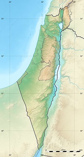
Haifa [1] [2] , Haifa Bay ( Hebrew מפרץ חיפה ) - a bay on the Mediterranean Sea measuring 12 × 6 km between the cities of Acre and Haifa in Israel .
| Haifa | |
|---|---|
| Heb. מפרץ חיפה | |
| Characteristics | |
| Bay Type | the bay |
| Location | |
| Upstream water area | Mediterranean Sea |
| A country |
|
| Region | Northern District |
On the coastal strip of the bay are the mouth of the Kishon River, the port of Haifa , the industrial zone, the villages of Kiryat Yam , Kiryat Haim , Kiryat Bialik .
The coastal strip is home to about 300,000 people. This area is the most populated part of the Northern District of Israel .
In May 2009, the plan of Haifa’s most significant reconstruction since 1934 and the construction of the new largest on the Mediterranean Sea [3] at the mouth of the Kishon River was announced.

Haifa Bay Panorama
Notes
- ↑ Lebanon, Israel // Atlas of the World / comp. and preparation. to the ed. PKO "Cartography" in 1999; open Ed .: T.G. Novikova , T.M. Vorobyova . - 3rd ed., Eras., Fr. in 2002 with diaposes. 1999 - M .: Roskartografiya, 2002. - S. 170. - ISBN 5-85120-055-3 .
- ↑ Cyprus, Lebanon, Israel, Jordan: General Map / comp. and preparation. to the ed. PKO "Cartography" in 1996; Art. ed. L. N. Kolosova; ed. N. B. Trokhina. - 1: 1 000 000, 10 km per 1 cm. - M.: Roskartografiya, 1996.
- ↑ Port in Haifa Bay may become the largest in the Mediterranean
Links
- Land of Israel (Eretz Yisrael). Geographical sketch - an article from the Electronic Jewish Encyclopedia