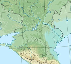
Malaya Hanata is a lake in Kalmykia . Located east of the village of Zurgan [2] . The Arshan-Zelmen River flowed into the lake [3]
| Lake | |
| Little Hanata | |
|---|---|
| Calm Bah Hanata (Nur) | |
| Location | |
| A country |
|
| The subject of the Russian Federation | Kalmykia |
| Identifiers | |
| GVR : | |
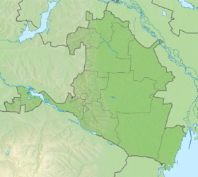
Refers to the West Caspian Basin District [4] . Included in the system of Sarpinsky lakes .
Content
Title
The name of the lake is derived from Kalm. khana - a thick, large reed that grew in abundance along the shores of the lake [5]
Physico-geographical characteristics
Origin
Like other lakes in the water system of the Sarpinsko-Davanskaya hollows, the lake is of relic origin. The formation of the lake is associated with the Lower Khvalyn transgression of the Caspian Sea . The lake is a relic of an ancient delta that formed over 7-8 thousand years on the site of a deep estuary at the end of the Late Pleistocene [6] .
Hydrology and climate
The lake is located in a zone of sharply continental , semi-desert climate. Under conditions of significant evaporation, the role of rainfall in the water regime of the lake is not great. After the commissioning of the Sarpinsky irrigation and watering system, the lake became an integral part of Sarpa Lake (Tsagan-Nur) .
Notes
- ↑ Surface Water Resources of the USSR: Hydrological Understanding. T. 8. The North Caucasus / ed. D. D. Mordukhai-Boltovsky. - L .: Gidrometeoizdat, 1964 .-- 309 p.
- ↑ American map of Russia and the USSR
- ↑ Strelbitsky map online. Special Map of European Russia
- ↑ State Water Register . Little Hanata . textual.ru . Ministry of Natural Resources of Russia (March 29, 2009). Date of treatment December 20, 2018. Archived March 29, 2009.
- ↑ Nomto.org . Archived on September 28, 2016.
- ↑ SKIOVO of the inland areas between the Terek, Don and Volga rivers. Appendix 3. Explanatory note to the book 1.