The Black River, a river in Russia , flows through the Cherdynsky and Krasnovishersky districts of the Perm Territory . The mouth of the river is 12 km away on the left bank of the Lysovka River. The length of the river is 11 km.
| Black | |
|---|---|
| Characteristic | |
| Length | 11 km |
| Watercourse | |
| Source | |
| • Height | 177.1 m |
| • Coordinates | |
| Mouth | Lyzovka |
| • Location | 12 km on the left bank |
| • Height | above 119.5 m |
| • Coordinates | |
| Location | |
| Water system | Lyzovka → Colva → Vishera → Kama → Volga → Caspian Sea |
| A country |
|
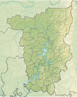
| Region | Perm region |
| Area | Cherdyn district |
| HWR Code | |
The source of the river in the forest 20 km north-west of the city Cherdyn . In the upper reaches flows to the northeast, then turns to the southeast. All the current passes through an unpopulated swamp forest. Falls into Lyzovka near the village of Lyzovo.
Water Registry Data
According to the state water register of Russia, it belongs to the Kama basin district , the water management section of the river - Kama from the water measuring station near the village of Bondyug to the city of Berezniki , the river sub-basin of the river - the tributaries of the Kama to the confluence of the White River. River basin - Kama [2] .
According to the geographic information system of water management zoning of the territory of the Russian Federation, prepared by the Federal Agency for Water Resources [2] :
- The code of the water body in the state water register is 10010100212111100006703
- Hydrological code (GI) - 111100670
- Pool code - 01/10/1,002
- GI Volume Number - 11
- Issue on GI - 1
Notes
- ↑ Surface water resources of the USSR: Hydrological knowledge. T. 11. Middle Ural and Urals. Issue 1. Kama / ed. V.V. Nikolaenko. - L .: Gidrometeoizdat, 1966. - 324 p.
- ↑ 1 2 State Water Register . Black . textual.ru . Ministry of Environment of Russia (March 29, 2009). The appeal date was December 20, 2018. Archived March 29, 2009.