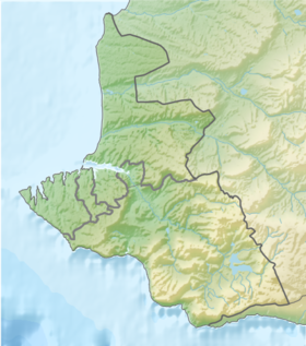
Ship's Bay - the bay of the Black Sea , located within the city of Sevastopol . It represents a flooded part of the mouth of the docks of the ravine, flows into the South Bay in its northeastern part, between Cape Pavlovsky and Lazarev .
| Ship's bay | |
|---|---|
| Specifications | |
| Bay Type | Bay |
| Location | |
| Upstream water area | Black Sea |
| A country |
|
| Region | Sevastopol |


The depth of the bay in the north is 15 meters, in the south - 10 meters, which allows large ships to enter and approach the shore itself. The shores of the bay are surrounded by large granite embankments, on which shops, barracks, and port facilities were located; along the embankments, cabinets were installed for mooring ships. The marina was built in the bay, later the Admiralty and five dry docks at the top of the bay. After the construction of the docks, the bay was renamed Dokovaya, but with the introduction of the largest dry dock in the Black Sea at the mouth of the Panayotova beam on the North Side, the bay in front of this dock was called Dokova , and its original name returned to the Ship Bay.
Now on the shore of the Ship's Bay is the Sevastopol Marine Plant .
Notes
- ↑ This geographical feature is located in the waters adjacent to the Crimean peninsula , most of which is the subject of territorial disagreements between Russia , which controls the disputed territory, and Ukraine , within the borders of which the disputed territory is recognized by the international community. According to the federal structure of Russia , the subjects of the Russian Federation are located in the disputed territory of Crimea - the Republic of Crimea and the city of federal significance Sevastopol . According to the administrative division of Ukraine , the regions of Ukraine are located in the disputed territory of Crimea - the Autonomous Republic of Crimea and the city with special status Sevastopol .