Big Onego Bay is a large bay in the northwestern part of Lake Onega on the territory of the Republic of Karelia .
| Gulf of Onego | |
|---|---|
| Specifications | |
| Square | 1010 km² |
| Deepest | 120 m |
| Average depth | 42 m |
| Transparency | 4-5 m |
| Location | |
| Upstream water area | Lake Onega |
| A country |
|
| The subject of the Russian Federation | Republic of Karelia |
| Areas | Onega district , Kondopoga region |
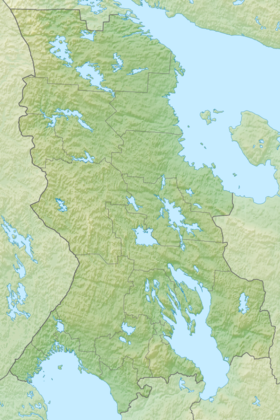
The shores of the bay are high, overgrown with mixed forest. On the western side of the gulf are the Ivanovo Islands , which separate the gulf from the Petrozavodsk Bay , on the eastern side - the entrance to the Kizhi skerries ( Bolshoi Klimenetsky island). The surface area is 1010 km².
The most significant lips of the Gulf of Onego:
- Kondopoga Bay - an area of 252 km² (the city of Kondopoga is located on the lip shore),
- Unitskaya Bay - an area of 160 km² (depths of 10–20 m, a large number of islands)
- Bolshaya Lizhemskaya Bay (Chogra) - an area of 105 km² (depths of 20-60 m, islands: Bolshoi Tul, Kalk, Vysoky, Dolgiy, Lukin, Fomkin, Popov, Sonya)
- Ilem-Gorskaya Bay - an area of 36 km² (depths 10-40 m, islands: Syar, Ilem, End)
Literature
- Lakes of Karelia / Alexandrov B. M., Zytsar N. A., Novikov P. I., Pokrovsky V. V., Pravdin I. F. - Petrozavodsk: State Publishing House of the Karelian Autonomous Soviet Socialist Republic, 1959. - P. 86-135. - 618 p. - 3000 copies.