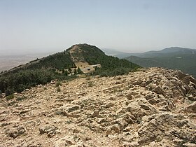
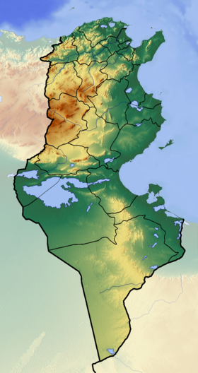
Shambi [3] [2] ( Arabic. جبل الشعانبي ) is a mountain in the west of Tunisia , the highest point of the country, on the eastern spurs of the Atlas system. It is located in the province of Kasserin [3] , 20 km west of the administrative center of the same name , in the territory of the Jebel Shambi National Park. Covered with pine forests.
| Shambi | |
|---|---|
| Arab. جبل الشعانبي | |
 | |
| Highest point | |
| Absolute height | 1544 [1] [2] m |
| Location | |
| A country |
|
| Mountain system | Atlas |
Notes
- ↑ Shambi at Peakbagger.com
- ↑ 1 2 Tunisia: General Map / Comp. and preparation. to the ed. Omsk cartograph. foy in 2003; Art. ed. T.P. Filatova; ed. N. N. Chugunova. - 1: 1 000 000, 10 km per 1 cm. - M., 2004 (Omsk: cartographic map). - ISBN 5-95230-097-9 . - 2,000 copies.
- ↑ 1 2 Algeria, Tunisia, Morocco, Western Sahara // Atlas of the world / comp. and preparation. to the ed. PKO "Cartography" in 2009; ch. ed. G.V. Pozdnyak . - M .: PKO "Cartography": Onyx, 2010. - S. 142-143. - ISBN 978-5-85120-295-7 (Cartography). - ISBN 978-5-488-02609-4 (Onyx).