Yurmatau - a mountain range in the southern Urals . Located in the territory of Beloretsk district of Bashkortostan.
| Yurmatau | |
|---|---|
| Specifications | |
| Length | 35 km |
| Width | 10 km |
| Highest point | |
| Absolute height | 842 m |
| Location | |
| A country |
|
| The subject of the Russian Federation | Bashkortostan |
| Mountain system | Ural Mountains |

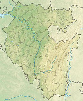
The Yurmatau Ridge is located on the western part of the Bashkir (Southern) Urals within the Beloretsk District of the Republic of Belarus.
The ridge stretches for 35 km in the northern and northeastern directions from the river Small Nugush to the river Big Nugush. The topography of the ridge is dome-shaped tops, half-perched surfaces of the slopes. In the southern part of the river valleys there are karst craters.
The ridge length is 35 km, width is about 10 km, height is 842 m. It is composed of shale, siltstone, argillite, dolomite, limestone, quartz sandstones of the upper Riphean. Quaternary formations are common: alluvial loams along rivers, sands and pebbles in beds, talus loams on gentle slopes and gravelly loams on ridges.
The ridge landscapes are deciduous-pine forests on light-gray forest coarse-skeletal soils, mountain meadows. In the southern part - larch forests, sedge and scrub swamps.
Toponymy
The form of Yurma-Tau is compared with the word Yurme - “a kind of meat food”, with the verbs Yurmeu - “sew over the edge”, the yurtas “run trot”, with the Bashkir ethnonym Yurma (yurme) - “dense forest”.
Literature
Bashkortostan. Encyclopedia. Ufa. 1996. Ed. Bashkir Encyclopedia.