Zilmerdak ( Bashk. Elmurk ) - a mountain range in the Southern Urals . Located in the Beloretsky district of Bashkortostan .
| Zilmerdak | |
|---|---|
| head off. Elmәrҙәk | |
| Specifications | |
| Length | 75 km |
| Width | 10 km |
| Highest point | |
| Absolute height | 921 m |
| Location | |
| A country |
|
| The subject of the Russian Federation | Bashkortostan |
| Mountain system | Ural mountains |

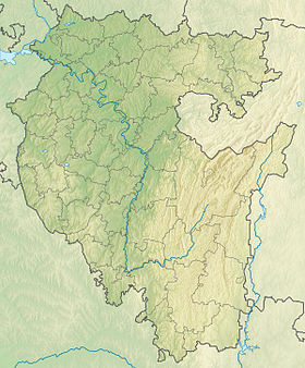
The Zilmerdak ridge [1] is located in the basin of the Zilima and Inzer rivers (tributaries of the Belaya and Sim rivers) of the Beloretsky district of the Republic of Bashkortostan.
Content
Features
The ridge is 75 km long, about 10 km wide, and up to 921 m high. It is composed of sedimentary-volcanogenic rocks, conglomerates, and sandstones.
On the slopes of the ridge mainly broad-leaved forests grow (birch, oak, linden). The ridge is almost completely covered by vegetation, there are no bare rocky peaks.
The territory is inhabited by more than 60 species of mammals and 190 species of birds.
Toponymy
Zilmerdak from Bashkir is a stopping wind. According to another version, eating - “wind”, bar - “is”, естьк - “mountain” [2] . The toponymist A.K. Matveev made a cautious assumption that in the mountain names Zilmerdak, Avdardak, Adzhigardak, Mayardak the Scytho-Alan substratum word may be hidden, which is preserved in the Ossetian ardak - “half”, “side” [3] .
Literature
Brief geographic encyclopedia. Volume 2 / Ch. Ed. Grigoryev A.A.M .: Soviet Encyclopedia - 1961, 592 p. with ill. and cards., 27 liters. kart. and ill., 1 l. Dep. cards
Links
Notes
- ↑ Tourist map of Bashkiria and the South Urals
- ↑ Dictionary of place names of the Republic of Bashkortostan. Ufa: Kitap, 2002.256 s. - S. 68.
- ↑ A.K. Matveev. Geographical names of the Urals. - Ekaterinburg, 2008.