Aitau ( Lunar Mountains ) is the southeastern spur of the Chu-Ili Mountains [1] . The ridge is elongated northwest for 150 km. The maximum height is 1052 m (Mount Sunkar in the Khantau massif at the northwestern tip of the ridge) [2] . It has a complex surface structure [1] . Formed in the Caledonian and Hercynian era of folding. It is composed of Paleozoic rocks, crystalline schists , Caledonian granites [2] .
| Aitau | |
|---|---|
| Highest point | |
| Absolute height | 1052 m |
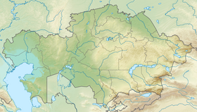
| Location | |
| A country |
|
| Region | Jambyl Region |
| Mountain system | Chu-Ili Mountains |

Notes
- ↑ 1 2 Questions of the Geography of Kazakhstan, Volume 3. 1959
- ↑ 1 2 Aitau // Kazakhstan. National Encyclopedia . - Almaty: Kazakh encyclopedias , 2004. - T. I. - ISBN 9965-9389-9-7 .
When writing this article, material from the publication Kazakhstan. National Encyclopedia ”(1998-2007), provided by the editors of the“ Kazakh Encyclopedia ”under a Creative Commons BY-SA 3.0 Unported license .