Sotara ( Spanish: Volcán Sotará ) is a stratovolcano in Colombia .
| Sotara | |
|---|---|
| Spanish Volcán sotara | |
 Volcano Sotara. 2011 year | |
| Specifications | |
| Volcano shape | Stratovolcano |
| Highest point | |
| Absolute height | 4580 m |
| Location | |
| A country |
|
| The Department | Cauca |
| Mountain system | Andes |
| Ridge or array | Central Cordillera |
| |

Geography
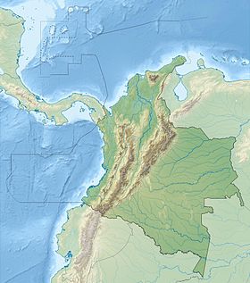
The volcano is located in Central Cordillera in the province of Cauca , 25 km southeast of the city of Popayan , and southwest of the volcano Purase . On the slope of the volcano is the source of the Patia River.
Three calderas (with diameters of 4.5, 2.5 and 1 km) give the volcano an irregular shape. The height of the volcano is 4,580 meters. No eruptions were observed during the observation period, but the volcano retains fumarole and hydrothermal activity.
Monitoring of the activity of the volcano began in November 1993 with the installation of the Sotara NE telemetric station in the area of the volcano. In May 1994, this station was robbed, rebuilt in December of the same year. In 1995, the station began to record changes in seismic activity , in addition, a second seismological station was temporarily installed in the area of the Cerro Negro volcano.
Links
- Sotara : [ eng. ] // Global Volcanism Program . - Smithsonian Institution .
- Volcán Sotará unopened (inaccessible link) . Archived on September 5, 2011.