Mount Maria ( Spanish: Montes de María ) is an isolated group of small and low mountains located in the Caribbean region , off the northern coast of Colombia . The mountains of Mary are the end of Serrania de San Jeronimo , stretching, in turn, from the Western Cordillera . Part of the mountains is the Los Colorados Nature Reserve.
| Maria | |
|---|---|
| Spanish Montes de maría | |
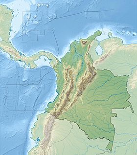
 Mountains on the map of the department of Bolivar . (at the top of the marked area) | |
| Specifications | |
| Square | 6317 km² |
| Highest point | |
| Highest peak | La pita |
| Highest point | 1000 m |
| Location | |
| A country |
|
| Departments | Bolivar , Sucre |
The territory of the mountains is located almost in the center of the departments of Bolivar and Sucre . It also has a number of municipalities: El Carmen de Bolivar , Maria la Baha , San Juan Nepomuseno , San Jacinto , Cordoba , Zambrano and El Guamo in Bolivar; Ovejas , Chalan , Coloso , Morroa , Toluviejo , Los Palmitos , San Onofre and San Antonio de Palmito in Sucre.
The total area of the mountains is 6,317 km², of which 3,798 km² belong to the Bolivar department and 2,519 to Sucre. About 330,889 people live in the mountains.
The territory of the Maria Mountains is divided into 3 zones: On the first, fairly flat, cattle breeding, forestry and agriculture are developed.
The second zone, covered with mountains, with agriculture as the main occupation of the local population.
And the third zone in the western part corresponds to the city of San Onofre .
Notes
- Villalobos, Hermes Cuadros Vegetación Caribeña (Spanish) . Biblioteca Luis Ángel Arango (2007). Date of treatment May 24, 2009. Archived June 13, 2013.