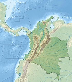
The Colombian Massif ( Spanish: Macizo Colombiano , also called Nudo de Almaguer ) is a mountain range composed of the Andes in southern central Colombia . It is located mainly within the departments of Cauca , Will and Narinho . To the south of it is the Pasto massif ( Spanish: Nudo de los Pastos ), and to the north the Central and Eastern Cordilleras begin.
| Colombian massif | |
|---|---|
| Spanish Macizo colombiano | |
 | |
| Specifications | |
| Square | 32,682 km² |
| Highest point | |
| Highest peak | Porase |
| Highest point | 4646 m |
| Location | |
| A country |
|
| Departments | Cauca , Wila , Narinho |
Geography
The area of the Colombian Massif is 32,682 square kilometers, of which 13,716 km² are forests, 15,423 km² are given for agroecosystems , 2,567 km² are paramo , 43 km² are covered with snow, 924 km² are places of xerophytes and 9 km² are settlements people. The height of the massif ranges from 2600 meters to 4646 [1] .
The area is a source of about 70% of Colombian fresh water suitable for human consumption and irrigation. Here are the headwaters of such rivers as Magdalena and Cauca (Caribbean), Kaketa and Putamayo ( Amazon basin ) and the Patia river (Pacific basin).
The array includes 362 alpine reservoirs, 13 paramos and other ecosystems rich in flora and fauna. Sotara and Purase are the dominant volcanoes of the massif, the latter is also included in the national park of the same name .
The massif is extremely difficult and dangerous for people to cross due to harsh environmental conditions.
Cerro de Lerma. Las Reginas.
Notes
- ↑ Volcán Puracé (Peakbagger.com) . Archived on June 13, 2013.
Links
- Ministerio del Medio Ambiente; Poblacion y ordenamiento ambiental: Macizo Colombiano (link not available) . Archived February 2, 2004.