Kayinkulak ( Ukrainian Kakulak ) is a river in the Chernihiv region of the Zaporizhzhya region of Ukraine, the right tributary of the Molochnaya River.
| Kayinkulak | |
|---|---|
| Ukrainian Kazkulak | |
| Characteristic | |
| Length | 21 km |
| Pool | 182 km² |
| Watercourse | |
| Source | |
| • Location | Novopoltavka |
| • Coordinates | |
| Mouth | Dairy |
| • Coordinates | |
| River slope | 4.2 m / km |
| Location | |
| Water system | Dairy → Sea of Azov |
| A country |
|
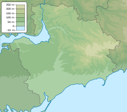
| Region | Zaporozhye region |
| Area | Chernihiv district |
Description
Length 21 km. The catchment area is 182 km². Slope 4.2 m / km. [one]
Settlements
The river begins in the village of Novopoltavka, Chernihiv region, Zaporizhzhya region , flows through the village of Novokazankovatoye , through the village of Pirchino and near the village of Trudovoye and flows into the Tokmachka river (the upper reaches of the Milk River ). Kayinkulak created several large ponds. [2]
Notes
- ↑ Kayinkulak // Catalog of Ukraine / comp .: G. І. Shvets , N. І. Drozd , S.P. Levchenko ; Ed .: V. І. Moklyak . - Kyiv : View of the Academy of Sciences of the Ural Soviet Socialist Republic , 1957. - 192 p. - 3000 copies. (Ukrainian)
- ↑ Map sheet L-37-25 Chernihivka . Scale: 1: 100,000. Status of the area in 1990. 1991 edition