Utanktash (from the Bashkir “double mountain”) is a treeless summit in the Uchalinsky district of Bashkortostan , consisting of two peaks 737.2 and 730.2 m high. [1] Located near the city of Uchaly .
| Utanktash | |
|---|---|
 | |
| Highest point | |
| Absolute height | 737.2 [1] m |
| Location | |
| A country |
|
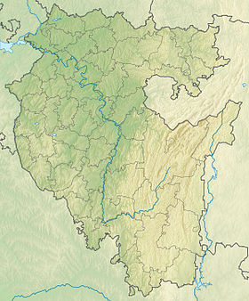
At the southwestern slope is the village of Ural [1] ). From it to Uchalam there are two roads that go around Utanktash from the west and east [1] .
On the northern slopes, streams are born that feed the Kalintash River, which flows through the village of Ural from the southern slope of Utanktash.
To the east of Utanktash, the Erekla River takes its source.
Notes
- ↑ 1 2 3 4 Map Sheet N-40-71 Malouchinsky . Scale: 1: 100,000. 1961 Edition.