Ilmensky rural settlement - a municipality ( rural settlement ) in the Rudnyansky municipal district of the Volgograd region . The administrative center is the village of Ilmen [1] .
| rural settlement | |||
| Ilmensky rural settlement | |||
|---|---|---|---|
| |||
| A country | |||
| Included in | Rudnyansky municipal area Volgograd region | ||
| Includes | 1 town [1] | ||
| Adm. Centre | village Ilmen | ||
| Head of Settlement | Plushenko Vladimir Petrovich [2] | ||
| History and Geography | |||
| Date of formation | 2004 [1] | ||
| Square | 151.77 [3] km² | ||
| Timezone | MSK + 1 ( UTC + 4 ) | ||
| Population | |||
| Population | ↘ 1067 [4] people ( 2017 ) (6.85%, 1st place ) | ||
| Density | 7.03 people / km² | ||
| Digital identifiers | |||
| Postal codes | 403626 [5] | ||
| Auto Code numbers | 34 | ||
| Okato OKTMO | 18 247 808 18 647 408 | ||
| Official site | |||
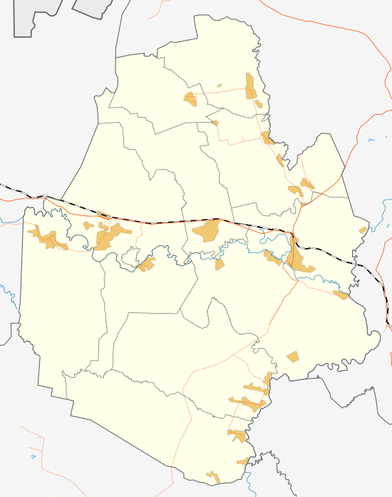
  Ilmensky rural settlement (highlighted in red) on a map of the Rudnyansky district Map of Ilmensky rural settlement | |||
Geography
Located in the northwestern part of the Rudnyansky district.
The area of the rural settlement is 15,177 hectares , of which 13,147 hectares (as of 2008) fall on farmland and 57 hectares are occupied by buildings (as of 2008) [3] .
Borders:
- in the south - with the Sosnovsky rural settlement ;
- in the south-east and north - with the Rudnyansky urban settlement ;
- in the north - with the Sosnovsky rural settlement ;
- in the north-west - with the Elansky district ;
- in the west - with Matyshevsky rural settlement ;
- in the east - with Osichkovsky rural settlement [1] .
History
Ilmensky rural settlement was established on December 21, 2004 in accordance with the Law of Volgograd Region No. 969-OD [6] .
Population
| Population | ||||||
|---|---|---|---|---|---|---|
| 2010 [7] | 2012 [8] | 2013 [9] | 2014 [10] | 2015 [11] | 2016 [12] | 2017 [4] |
| 1156 | ↗ 1157 | ↘ 1153 | ↘ 1138 | ↘ 1127 | ↘ 1099 | ↘ 1067 |
Composition of a rural settlement
The Ilmensky rural settlement includes one locality:
| No. | Locality | Type of settlement | Population |
|---|---|---|---|
| one | Ilmen | village, administrative center | ↘ 1067 [4] |
Administration
The head - Plushenko Vladimir Petrovich (since October 11, 2009) [13] ;
Phone / Fax : 8 (84453) 7-42-85
Administration address : 403626, Volgograd region, Rudnyansky district, s. Ilmen, st. Mira, 1.
e-mail : ilmen-v@bk.ru [2]
Transport
The following roads of regional or inter-municipal significance pass through the settlement territory:
- automobile road Zhirnovsk-Rudnya-Vyazovka-Mikhailovka-Kumylzhenskaya-Veshenskaya (road identification number: 18 OP RZ 18K-5);
- access from the Zhirnovsk-Rudnya-Vyazovka-Mikhailovka-Kumylzhenskaya-Veshenskaya highway to the Ilmen village (road identification number: 18 OP RZ 18K-5-3) [14] .
The length of local roads is 22 km (as of 2011) [3] .
In the south, the settlement territory is crossed in the west-east direction by a railway line with two platforms (item 338 km - at the northern outskirts of Ilmen and the stop item 344 km - on the border with the Rudnyansky urban settlement), belonging to the Rtishchevsky branch of the Southeast Railway [15] .
Notes
- ↑ 1 2 3 4 Law of the Volgograd Region dated December 21, 2004 “On the Establishment of Borders and Granting the Status of the Rudnyansky District and Municipalities in its Composition” No. 969-ОД . Reference legal system "Pravo.ru" . Date of treatment December 27, 2012. Archived January 26, 2013.
- ↑ 1 2 List of administrations of settlements of the Rudnyansky district . Website of the Association "Council of Municipalities of the Volgograd Region" . Date of treatment November 12, 2012. Archived January 26, 2013.
- ↑ 1 2 3 Passport of the municipality "Ilmensky rural settlement" . Federal State Statistics Service . Date of treatment November 12, 2012. Archived January 27, 2013.
- ↑ 1 2 3 The population of the Russian Federation by municipalities as of January 1, 2017 (July 31, 2017). Date of treatment July 31, 2017. Archived July 31, 2017.
- ↑ Rudnyansky district . Zip codes of Russia . Date of treatment August 10, 2012. Archived January 26, 2013.
- ↑ Law of the Volgograd Region of December 21, 2004 N 969-OD "On the Establishment of Borders and Giving the Status of the Rudnyansky District and Municipalities in Its Composition"
- ↑ 2010 All-Russian Population Census. The population of urban districts, municipalities, urban and rural settlements, urban and rural settlements of the Volgograd region
- ↑ Population of the Russian Federation by municipalities. Table 35. Estimated resident population as of January 1, 2012 . Date of treatment May 31, 2014. Archived May 31, 2014.
- ↑ The population of the Russian Federation by municipalities as of January 1, 2013. - M.: Federal State Statistics Service of Rosstat, 2013. - 528 p. (Table 33. The population of urban districts, municipalities, urban and rural settlements, urban settlements, rural settlements) . Date of treatment November 16, 2013. Archived November 16, 2013.
- ↑ Table 33. The population of the Russian Federation by municipalities as of January 1, 2014 . Date of treatment August 2, 2014. Archived on August 2, 2014.
- ↑ The population of the Russian Federation by municipalities as of January 1, 2015 . Date of treatment August 6, 2015. Archived on August 6, 2015.
- ↑ Population of the Russian Federation by municipalities as of January 1, 2016
- ↑ Information about elected deputies, officials of local authorities ( .Zip ) (inaccessible link) . Official site of the Election Commission of the Volgograd Region . - The results of the elections to local authorities of the Rudnyansky district, held on October 11, 2009. Date of treatment November 12, 2012. Archived January 26, 2013.
- ↑ Resolution of the Administration of Volgograd Region dated May 24, 2010 No. 231-p. “On approval of the list of public roads of regional or inter-municipal significance of the Volgograd region” . The official portal of the Governor and Government of the Volgograd region . Date of treatment December 28, 2012. Archived January 26, 2013.
- ↑ Map sheet M-38-41 Matyshevo . Scale: 1: 100,000. State of the terrain for 1987. 1990 edition
Links
- Administration of Ilmensky rural settlement . The official portal of the Governor and Government of the Volgograd region . Date of treatment November 12, 2012. Archived January 27, 2013.