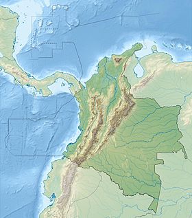
Cerro Bravo ( Spanish: Cerro Bravo ) is a volcano in the Department of Tolima , Colombia , in the Los Nevados National Park.
| Cerro Bravo | |
|---|---|
| Spanish Cerro bravo | |
 Volcano Cerro Bravo (December 16, 2009). | |
| Characteristics | |
| Volcano shape | Stratovolcano |
| Last eruption | 1720 ± 150 g. |
| Eruption type | Plinian , Explosive |
| Structure | Dacites |
| Highest point | |
| Absolute height | 4000 [1] m |
| Location | |
| A country |
|
| The Department | Tolima |
| Mountain system | Andes |
| Ridge or array | Central Cordillera |
| |

Cerro Bravo is a stratovolcano with a height of 4000 meters. Located north of Ruiz Volcano. It began to form in the Pleistocene era. It is composed mainly of dacites . In the modern period, it is known for the Plinian type of eruption , emissions of pyroclastic flows. As a result of volcanic activity, a volcanic dome was formed . In the modern period, the volcano erupted about a dozen times. There are no written sources about the eruption of the volcano, but the radiocarbon analysis of volcanic rocks shows that the volcano last actively showed itself to itself most recently, in the 18th-19th centuries. The top of the volcano is very rarely covered with snow.
Notes
- ↑ Volcano Cerro Bravo : [ eng. ] // Global Volcanism Program . - Smithsonian Institution . - Date of appeal: 01/01/2013.
Links
- Volcano Cerro Bravo : [ eng. ] // Global Volcanism Program . - Smithsonian Institution .
- Volcano Live - John Search
- Vulcanism.ru