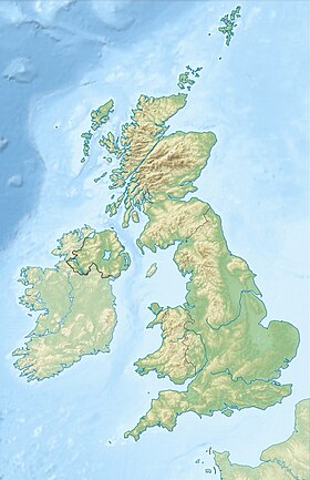
Benbecula ( born Benbecula , Gaelic. Beinn na Faoghla ) is an island in Scotland , in the Outer Hebrides archipelago. Area - 82.03 km². The population is 1219 people. The largest settlement is the village of Balivanikh , located in the northwest of the island.
| Benbekyula | |
|---|---|
| English Benbecula , Gaelic. Beinn na faoghla | |
 | |
| Characteristics | |
| Area | 82.03 km² |
| Highest point | 124 m |
| Population | 1219 people (2001) |
| Population density | 14.86 people / km² |
| Location | |
| Archipelago | Outer Hebrides |
| Water area | Atlantic Ocean |
| A country |
|
| Region | Scotland |
| Area | Na-Elanan Shyar |

Content
- 1 Geography
- 2 population
- 3 Politics and power
- 4 Culture
- 5 Transport
- 6 notes
- 7 Literature
- 8 References
Geography
Located in the northwestern part of the Hebrides in Scotland, in the southern part of the Outer Hebrides archipelago, between the islands of North Uist and South Uist , which are connected by dams.
Benbekyula Island itself is surrounded by small islands and skerries . On the southeast side is the uninhabited island of Wiei , on the north side is the small inhabited island of Flodda .
In general, the relief of the island is flat, only in the central part is a more or less significant Ruuel hill 124 m high. There are many lakes.
Population
The population of the island is 1219 people with an average density of 15 people per km². Gaelic is common among the population. The main religion, as in all Outer Hebrides to the south, is Catholicism . Although already on North Uist, Calvinists prevail.
Politics and Power
The inhabitants of the island, when they are elected to the local council of the Nah Elanan Shyar County, are members of the Benbekyula and North Uist constituency ( Gaelic. Beinn na Faoghla Agus Uibhist A Tuath ), in which three out of thirty-one deputies are elected [1] .
The RRH Benbecula radar station of the Royal Air Force of Great Britain, despite its name, is not located on Benbecula Island, but in the western part of the neighboring North Whist Island [2] .
Culture
On the island, a three-month Gaelic language course is taught at the Lews Castle College at Highlands and Islands University [3] .
In the southwestern part of the island are the ruins of Castle Borv. Presumably the castle was built by Amy Macrouari at the end of the XIV century and was inhabited until the beginning of the XVIII century [4] [5] .
Transport
In the north-west of the island is Benbecula Airport with regular flights to Glasgow , Inverness , Stornoway and Barra Island.
Road dams connect Benbecula to the neighboring North Wist and South Wist islands, making ferry crossings available in the villages of Lochboysdale and Lohmaddy to other Outer Hebrides and mainland Scotland.
Notes
- ↑ Composition of the Na-x-Elanan-Shyar County Council (Inaccessible link) . Archived on May 26, 2015.
- ↑ Coordinates of the RRH Benbecula radar (Inaccessible link) . Archived February 21, 2014.
- ↑ Gaelic courses
- ↑ Borv Castle on the Royal Monument Commission website
- ↑ Act on the inclusion of Brow Castle in the list of protected monuments. 1993 year.
Literature
- Benbecula // Brockhaus and Efron Encyclopedic Dictionary : in 86 volumes (82 volumes and 4 additional). - SPb. , 1890-1907.