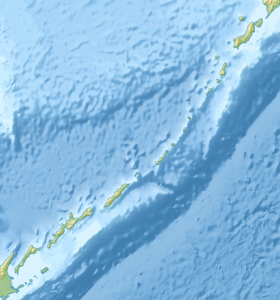
The Krubera Ridge is a chain of extinct volcanoes on the Medvezhiy Peninsula in the northeastern part of the island of Iturup ( Kuril Islands ). It forms the watershed between the Pacific Ocean and the Sea of Okhotsk .
| Krubera Ridge | |
|---|---|
| Highest point | |
| Absolute height | 853 [1] m |
| Location | |
| A country |
|
The length is 24 km. The height is 400–700 m (Sibetoro, 853 m, Dobrynin, 770 m) [1] .
The Kruber Ridge includes the walls of the extensive Pleistocene Caldera [3] from the town of Milanovsky (712 m). Traces of ancient glaciation. The slopes are covered with birch-alder crooked forest with thick undergrowth of Kuril bamboo and thickets of cedar elfin woods.
Named in honor of A. A. Kruber .
Notes
- ↑ 1 2 Iturup Island Map )
- ↑ This geographical feature is located on one of the islands that are the subject of a territorial dispute between Russia , which rules these islands, and Japan . In accordance with the Constitution of the Russian Federation, the island is part of the territory of the Russian Federation , according to the administrative-territorial division of Japan - part of the Nemuro district of the Hokkaido prefecture of Japan .
- ↑ Krubera Ridge : [ eng ] // Global Volcanism Program . - Smithsonian Institution .