Handa ;
| Handa | |
|---|---|
| English Handa , Gaelic. Eilean Shannda | |
 | |
| Specifications | |
| Square | 3.09 km² |
| Highest point | 123 m |
| Population | 0 pax (2011) |
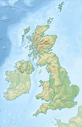
| Location | |
| Water area | Atlantic Ocean |
| A country |
|
| Region | Scotland |
| Area | Highland |

Geography
The area of the island is 309 hectares, the highest point is 123 m.
History
It was inhabited from ancient times until the middle of the XIX century, when residents were forced to leave the island due to hunger caused by the epidemic of potato late blight . It has long been used as a burial place, because wolves on large land unearthed graves.
Nature Conservation
According to the Scottish Wildlife Charity Endowment, the island has 100,000 diverse birds. According to the fund, up to 6 thousand people come to the island every year to observe birds.
Transport
It is connected by ferry with the village of Tarbet .
Links
- Scottish Wildlife Trust - Handa Island
- More information and photos at the Handa Island Skua Project