Deutsche Thaya ( German: Deutsche Thaya ) - a river in Central Europe , flows through the territory of Austria .
| Deutsche Thaya | |
|---|---|
| him. Deutsche thaya | |
 | |
| Characteristic | |
| Length | 75 km |
| Pool | 770 km² |
| Watercourse | |
| Source | |
| • Height | 657 m |
| • Coordinates | |
| Mouth | Die |
| • Coordinates | |
| Location | |
| Water system | Dieu → Morava → Danube → Black Sea |
| A country |
|
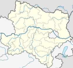
| Region | Lower austria |
The total length of the river is about 75 km. Its catchment area is 770 km². The average annual water flow rate is 4.4 m³ / s. It originates in the federal state of Lower Austria at an altitude of 657 m above sea level.
The river has a left tributary - Slavonitski Potok .
Topographic maps
- Map sheet M-33-XXVIII .