Kazanlak Basin ( Bulgarian. Kazanlash Basin ) is an intermountain tectonic basin in Bulgaria . It is bounded on the north by the slopes of the Stara Planina ridge , and on the south by the slopes of the Sredna Gora ridge.
| Kazanlak Basin | |
|---|---|
| bulg. Kazanlushka hollow | |
 | |
| Specifications | |
| Depth | 350 m |
| Length | 94 km |
| Width | 10 km |
| Square | 780 km² |
| Location | |
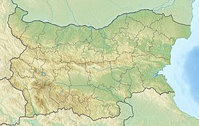
| A country |
|
| Mountain system | Balkans |

The length of the basin is about 94 km, the average width is 10 km, the area is about 780 km². The average height is 350 m. The bottom relief is mostly flat , in the east - hilly . The climate is temperate, warm; January temperature ranges from 0 to -2 ° C, July - about 20 ° C. Precipitation is about 600 mm per year.
Significant areas are occupied by plantations of the Kazanlak rose and other essential oil crops, grain crops, fruit plantations, and vineyards .
The Tundzha River (a tributary of the Maritsa ) flows through the basin.
The largest city is Kazanlak . The largest reservoirs and reservoirs on the Tundzha are G. Dimitrov and Zhrebchevo .
Sources
- Kazanlak Basin // Great Soviet Encyclopedia : [in 30 vol.] / Ch. ed. A.M. Prokhorov . - 3rd ed. - M .: Soviet Encyclopedia, 1969-1978. .
Topographic maps
- Map sheet K-51-A . Scale: 1: 500,000 .