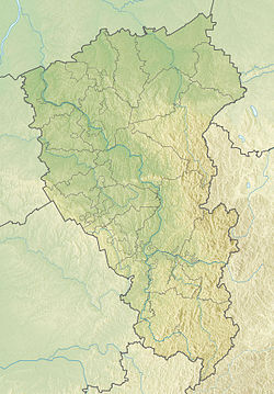
Waterfall stream - a small tributary of the Tom . The direction of flow is south-west, about 4 km long.
| Waterfall | |
|---|---|
| Characteristic | |
| Length | 4 km |
| Watercourse | |
| Mouth | Tom |
| • Coordinates | |
| Location | |
| A country |
|
| Region | Kemerovo region |
| Area | Novokuznetsk |
The Vodopadny creek is a unique natural monument of Novokuznetsk , it is located 150 meters from the Topolniki station in the Kuznetsk District . Its height is three and a half meters. Here coal was first found in 1739, and at the beginning of the 20th century the first Kuznetsk mine was opened.
The creek on Vodopadnaya Street at the Devil's Bridge is very beautiful and unusual. In a narrow hollow, a sonorous stream jumps merrily, generously sprinkling splashes. In the spring of 2008, pupils of gymnasium No. 73 cleared it and installed a memorial sign.
It originates on the Stanovoy Mane in the Kuznetsk district of Novokuznetsk , in a garden partnership. The spring source represents a 1 * 1.2 cup, 0.32 m deep, lined with clay. In the northeastern part of the spring there are several outlets of groundwater. The parent is equipped for water intake: there is a ladder, a platform, a common funnel. The water in the spring is crystal clear; even in the 30-degree heat, it does not warm above + 7 ° C.
The stream flows about 200 meters to the dam, popularly called Lake Fifth.
Next on the creek is a series of dams, called lakes. There are only five of them, the number is given from the bottom up (the lowest is the First, the highest is the Fifth). The depth of the lakes is 6-7 meters.
The stream passes into the pipe under the Kuznetsk -Zapsib highway, passes near the Kuznetsk fortress . Here begins the Kuznetsk ravine. The fall of the stream increases, the speed reaches 0.25 m / s.
Kuznetsk Falls is located not far from the railway, the Vodny-Ostrovskaya line, more precisely, the square. Topolniki. The waterfall has a height of 3.5 m, but the cliff itself is greater - about 15 m.
The stream flows into the pipe under the railway, and in Topolniki changes direction to the south-east. After 70-90 meters, he goes underground and disappears.
When in April-May Tom spreads, the stream flows into Tom by the railroad.