The Khudan Range [1] (the Bur. Khudanai Dabaan ) is a mountain range in the Transbaikalia , in the Selenga middle mountains .
| Khudan Range | |
|---|---|
| Boer. Khudanai Dabaan | |
| Specifications | |
| Length | 320 km |
| Highest point | |
| Absolute height | 1327 m |
| Location | |
| A country |
|
| The subject of the Russian Federation | Buryatia |

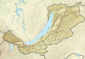
Located in Buryatia along the left bank of the Uda River . The watershed of the ridge is the natural boundary of four districts - Zaigraevsky , Khorinsky , Eravninsky and Kizhinginsky . In the middle part of the ridge, the Khudan River breaks through, dividing the mountain system into approximately two equal parts. To the north of the ridge lies the Udi intermountain depression, to the south - the Khudan-Kizhinginsk depression.
The length of the ridge is 320 km. The maximum height is 1327 m. It is mainly composed of granites and effusive rocks . The relief is dominated by lowlands, peaks mainly dome-shaped. The southern slopes are covered mainly by pine forests , the northern ones - by larch forests .
Topographic maps
Sources
- ↑ Geographic Encyclopedic Dictionary: geographical names / Ed. A.F. Trёshnikova . - 2nd ed., Ext. - M .: Soviet encyclopedia , 1989. - p. 531. - 210 000 copies. - ISBN 5-85270-057-6 .
- The Khudan Range is an article from the Great Soviet Encyclopedia . .