Alina is a river in the Turukhansk district of the Krasnoyarsk Territory , the right tributary of the Yenisei River .
| Alina | |
|---|---|
| Characteristic | |
| Length | 24 km |
| Watercourse | |
| Source | |
| • Location | near the confluence of the Sukhoi Yelogui River into the Tati River |
| • Height | about 19 m |
| • Coordinates | |
| Mouth | Yenisei |
| • Location | on the opposite bank from the village of Alinsky |
| • Height | 16 m |
| • Coordinates | |
| Location | |
| Water system | Yenisei → Kara Sea |
| A country |
|
| Region | Krasnoyarsk region |
| Area | Turukhansky district |
| HWR Code | |
Description
The length of the Alina River is 24 kilometers [2] .
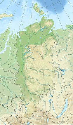
The source is located between the Yenisei and the upper reaches of its other tributary Tati . From the source, Alina flows, as a whole, to the northeast, then turns to the northwest, in the lower reaches it again acquires a common northeast direction. In the initial and final sections, meanders are relatively pronounced. It flows into the Yenisei at the end of the islands of Korchevata Kosa . On the opposite bank from the confluence, there is the village-port of Alinsky .
The Alina River runs through wooded (birch) and swampy areas (in places - overgrown bushes) of the Turukhansk lowland . Along the shores there are many small lakes [3] [4] .
Water Registry Data
According to the Russian State Water Register, it belongs to the Yenisei Basin District , the Yenisei river water sector from the confluence of the Podkamennaya Tunguska River to the confluence of the Lower Tunguska River , the river sub-basin of the Yenisei River between the confluence of the Podkamennaya Tunguska and Lower Tunguska. The river basin of the river is the Yenisei.
According to the geographic information system of water management zoning of the territory of the Russian Federation, prepared by the Federal Agency for Water Resources [2] :
- The code of the water body in the state water registry is 17010600112116100058948
- The code for hydrological knowledge (GI) is 116105894
- Pool Code -
- GI Volume Number - 16
- Issue on GI - 1
Notes
- ↑ Surface water resources of the USSR: Hydrological knowledge. T. 16. Angaro-Yenisei district. Issue 1. Yenisei / ed. G. S. Karabaev. - L .: Gidrometeoizdat, 1967 .-- 823 p.
- ↑ 1 2 State Water Register of the Russian Federation: Alina .
- ↑ Map sheet P-45-31.32 .
- ↑ Map sheet P-45-III, IV . Scale: 1: 200 000. Specify the date of issue / state of the area .