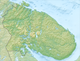
Yudychvumchorr ( Kild. “Buzzing mountain”) - a mountain with steep walls and a flat top, located on the Kola Peninsula in the southwestern Khibin block. Height 1200.6 [2] meters - the highest mountain Khibin. From the south and southeast, the Yudychvumchorr is bordered by the deep valley of the Malaya Belaya River , and from the west by the valley of the Fersman stream. It is the highest point of the European Arctic of Russia.
| Yudychvumchorr | |
|---|---|
| Highest point | |
| Absolute height | 1200 [1] m |
| Location | |
| A country |
|
| The subject of the Russian Federation | Murmansk region |
| Mountain system | Khibiny |

Yudychvumchorr is also sometimes called the Fersman mountain, in honor of the researcher Khibin, the famous Soviet geochemist and mineralogist Alexander Evgenievich Fersman .
Notes
- ↑ Peakbagger.com
- ↑ Different sources give different data - from 1200 to 1206 meters
Topographic maps
- Map sheet Q-36-III, IV Apatity . Scale: 1: 200 000. Indicate the date of issue / condition of the area .
Links
- Yudychvumchorr
- Yudychvumchorr on Wikimapia